Description
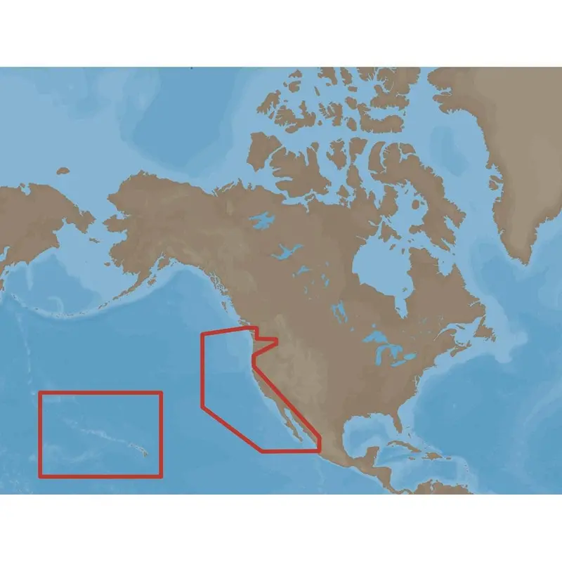
C-MAP NA-M024 Max Wide microSD
Model: M-NA-M024-MS
- Updated twice annually to provide all the latest detail and information
- Compatible with dozens of chartplotters from top manufacturers
- Extensive coverage of coastal waters, lakes and rivers
C-MAP MAX electronic charts have been a worldwide standard for years, providing cruisers, sailors and fishermen with the accurate, up-to-date chart data they need to enjoy each day on the water. Still a leading choice of navigators and chartplotter manufacturers around the globe.
Specifications
| Yes | |
| Dynamic tides | Yes |
| Gaurdian alarm | Yes |
| Detailed marina port plans | Yes |
| Photos and diagrams | Yes |
| Route-check | Yes |
| Depths and land elevation | Yes |
| Detailed harbor | Yes |
| Perspective view | Yes |
| C-Marina Port Database | Yes |
| Points of interest | Yes |
| Multi-language capability | Yes |
Explore more from our collection.
Reviews
There are no reviews yet.